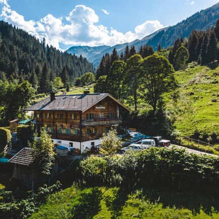
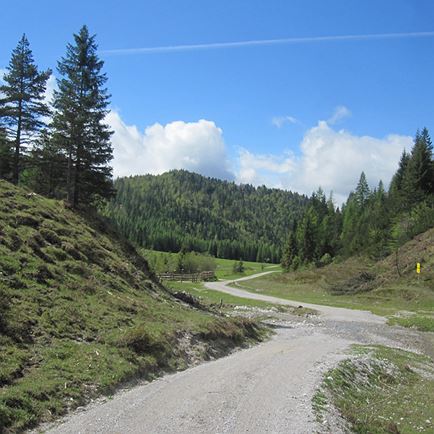
This tour begins at the hunting lodge “Ahornau” or at the Gamskogelhütte in the Windau valley, Westendorf.
To get here either drive with your private car or with the “Windautaler Wandertaxi” (Windau valley hiking taxi). For info please contact 0043 57507 2000 300.
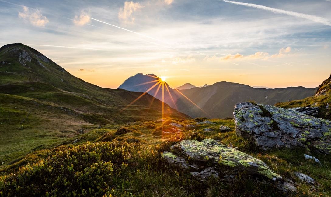
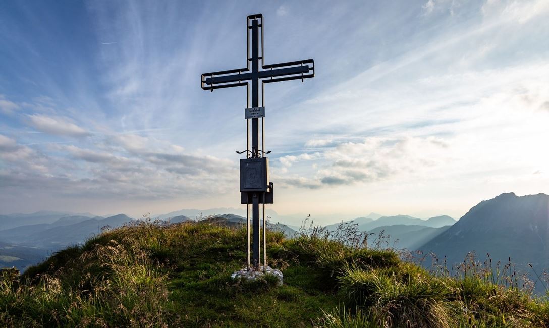
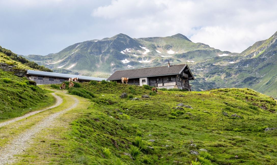
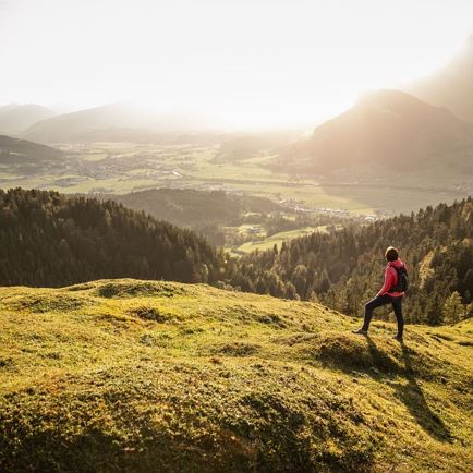
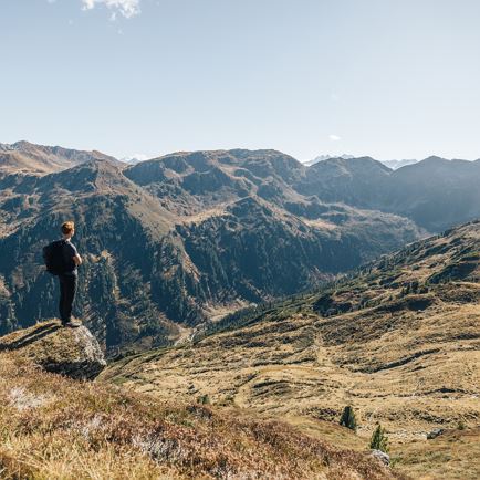
The hiking trail leads us first to the Tagweidalm. From here, the continuously ascending trail takes us to the Miesenbachalm. Pass between the farm buildings and then the path continues in a very pleasant and relaxing manner to the “Miesenbachkessel” where there is a shelter for sheep farmers. Here we can take a restorative rest before tackling the steep climb to the summit of the Gamsbeil. Having arrived on the ridge, we keep to the left and continue our climb to the summit.
(To our right, we can get to the Geigenscharte and subsequently, either to the right to the “Frühmesser” or straight ahead to the “Großen Rettenstein” (Big Rettenstein) or left to the Spertental valley).
Descent as the ascent.
Variations:
• From the hollow below the Gamsbeil, you can continue to the Geigenscharte and from there to the right across the saddle to the Speikkogel, and further on to the Steinkogel and Gamskogel. Descend from the Gamskogel to the Miesenbachalm.
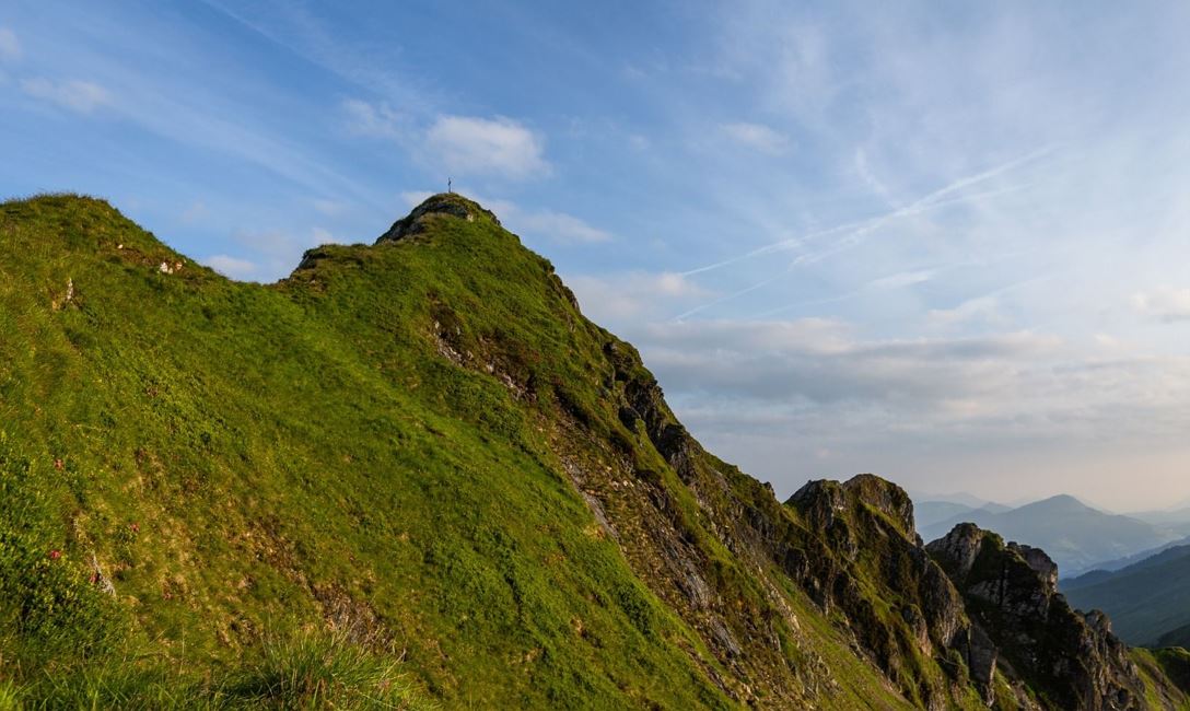
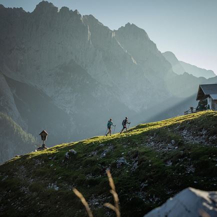
• If you go over the summit of the Gamsbeil (Caution!! This piece is quite exposed and only suitable for experienced, vertigo-free and sure-footed mountain hikers) you eventually arrive at Westerach and Tanzkogel. Descend from there via the Reichalm to the road to the Miesenbachalm. Caution! The downhill trail from the Tanzkogel runs across many imprints made by grazing cows on the terrain. This trail is not marked!
Read more